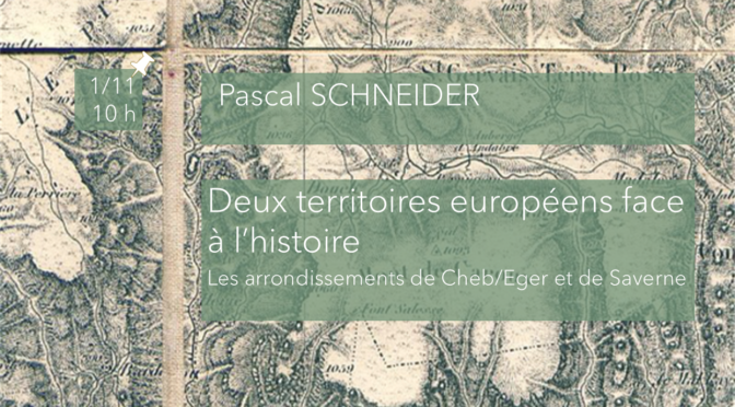
The Districts of Cheb/Eger and Saverne: Two European Territories facing History from the End of the 19th Century to 1945.
Second session of the 2024-2025 CEFRES Francophone
Interdisciplinary Seminar The Map and the Border
Already in 2023, we started questionning the very act of bordering and representing (a territory, a period, a trajectory). In short, thanks to the interdisciplinarity of our respective disciplines, we began inquiring into the question of the map and the border.
Location: CEFRES, Na Florenci 3, Prague 1
Date: Friday 1st, September 2024, from 10am to 12pm
Language: French
Speaker: Pascal Schneider (Sorbonne Université, Paris / Universität des Saarlandes)
Discussant: Martin Klečacký (Masaryk Institute, Czech Academy of Sciences)
Abstract
From the end of the 19th century to the middle of the 20th century, European territories have greatly evolved, with changes in geography, politics as well as administrations. Furthermore, these new divisions which didn’t account for local populations were most often created to ensure a better control of these territories by the central authority. This was the case for the district of Eger/Cheb in Czechoslovakia as well as Saverne in France, 500 km to the West of it. For these territories, the border was most often cultural, transmitted through collective consciousness and collective memory before it was developed by political movements when these territories were attached to Germany after 1933. The annexation of these German-speaking lands by the Third Reich brought another change, by setting up a National Socialist territorial unit to administer and better control the local community: the Ortsgruppe. These units developed a new cohesion around a flag, symbolizing the Third Reich and the local community, that Carl-Wilhelm Reibel named “The foundation of dictatorship” which in some cases changed its limits but stayed until the fall of the Reich
See the complete program of the 2024-2025 seminar here.

